The Zen of ASCII Wayfinding: Low-Bandwidth Art, Terminal Telemetry & Retro-Futuristic Adventures
How procedural ASCII topography, ANSI solar dials, and terminal cartography bring retro-futuristic elegance, satellite resilience, and accessible STEAM art to outdoor expeditions.
Transforming raw telemetry into evocative ASCII landscapes, solar compasses, and low-bandwidth mission control readouts.
The Minimalist Elegance of ASCII in the Wild
In an era of 4K displays and heavy multi-gigabyte mapping tiles, there is an enduring, poetic beauty to ASCII art.
Born in the golden age of mainframe computing and The Oregon Trail, ASCII art strips away graphical clutter to celebrate the pure essence of form, light, and geometry.
In outdoor expeditions and classroom science labs, text-based art serves three profound purposes:
- Zero-Bandwidth Resilience: When you are deep in the Cascade backcountry with only a 1200-baud satellite messenger (Garmin inReach, Iridium, or APRS Ham Radio), high-res graphics fail. ASCII delivers instant visual clarity in under 200 bytes.
- Cognitive Clarity & Flow: Minimalist typography focuses the human eye on critical boundaries—mountain ridges, solar angles, and vehicle arrival gates.
- STEAM Accessibility: Any student on any device—from an old Chromebook to a Raspberry Pi terminal—can experience real-time computational art.
🏔️ 1. Procedural ASCII Pacific Northwest Topography
By mapping GIS elevation data to character densities (. : - = + * # % @), we can render the entire geological transect of Oregon and Washington in pure text:
 PACIFIC     COAST       WILLAMETTE        MT. HOOD          COLUMBIA       HIGH
  OCEAN      RANGE         VALLEY          (11,249')          RIVER        DESERT
─────────────────────────────────────────────────────────────────────────────────
                                             ▲ [3,426m]
                                            ╱ ╲
                                           ╱ * ╲  (Pinnacle Ice)
                                         _╱ # % ╲_
                       _▲_              ╱ % @ # % ╲
         _▲_          ╱   ╲            ╱ # % @ # % ╲                 _▲_
 ~~~    ╱   ╲________╱     ╲__________╱             ╲_______________╱   ╲________
~~~~~  ╱     Coast  Forests    Farm     Timberline     Basalt Gorge  High Plateau
 ~~~  ╱       Rainforest      Fields      Lodge           Depot       Sagebrush
─────────────────────────────────────────────────────────────────────────────────
[Depot] ─── (32 mi) ───► [Trailhead] ─── (48 mi) ───► [Summit Ridge] ───► [Return]
☀️ 2. The Real-Time ASCII Solar Vector Compass
Instead of raw floating-point numbers, this terminal solar compass projects the sun’s trajectory, the golden hour twilight arc, and exact cast shadow vectors:
                         [ NORTH 000° ]
                               │
            ·  ˙  ˙  · .       │       . ·  ˙  ˙  ·
         ·                  ·  │  ·                  ·
      ·                        │                        ·
     ·      [ DAWN ARC ]       │      [ DUSK ARC ]       ·
   ·                           │                           ·
[W 270°] ──────────────────────┼────────────────────── [E 090°]
   ·                           │            ☀️ (Sun: 124.5°)
     ·                         │           ╱
      ·      [ SHADOW RAY ]    │          ╱  (Elev: 18.2°)
         ·           ╲         │         ╱           ·
            ·  ˙  ˙  ·╲ .      │       . ·  ˙  ˙  ·
                               │
                         [ SOUTH 180° ]

 🛰️ TELEMETRY: Azimuth 124.5° ESE | Elevation 18.2° | Golden Hour: ACTIVE (14m remaining)
 🌲 CAST SHADOW: Heading 304.5° WNW | Length Factor: 3.08x Object Height
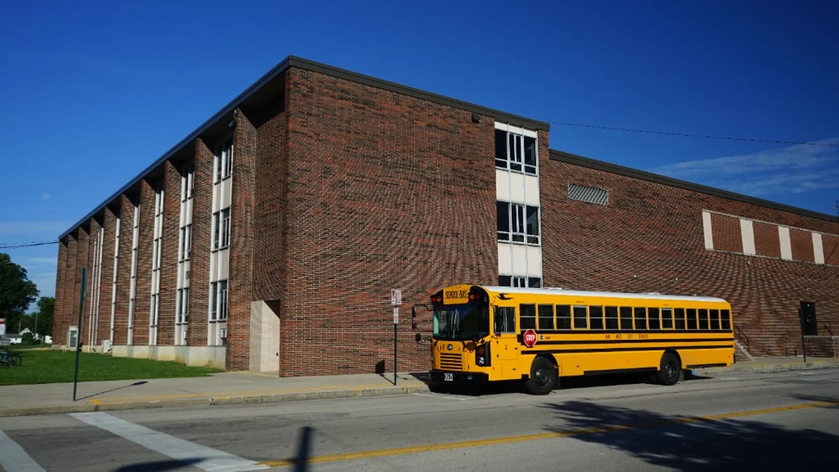
🚌 3. The School Bus Expedition Journey Timeline
Field trips become exciting interactive storyboards when route milestones are rendered with live progress markers, headcount counters, and fuel reserve telemetry:
┌─────────────────────────────────────────────────────────────────────────────┐
│ 🚌 EXPEDITION TIMELINE :: CASCADE VOLCANO & BASALT GORGE DISCOVERY         │
├─────────────────────────────────────────────────────────────────────────────┤
│ 08:30 AM  [SCHOOL DEPOT]      🚍───────► 09:15 AM [MULTNOMAH FALLS]        │
│           • Headcount: 48/48               • Photo Window: 45 min           │
│           • Status: DEPARTED               • Citizen Sci: Water Turbidity   │
│                                                                             │
│ 10:15 AM  [BONNEVILLE DAM]    ─────────► 12:00 PM [TIMBERLINE BASE]        │
│           • Hydroelectric Tour             • Brown Bag Lunch + Solar Trig   │
│           • Buffer: +15 min                • Light: Peak Solar Noon         │
│                                                                             │
│ 01:30 PM  [HOOD RIVER PASS]   ─────────► 02:45 PM [CAMPUS ARRIVAL]         │
│           • Zooniverse Grants: $48.00      • Return Bell: 03:00 PM (SAFE)   │
│           • Clean EV Battery: 42%          • Total Miles: 118.4 mi          │
└─────────────────────────────────────────────────────────────────────────────┘
  PROGRESS: [████████████████████████████░░░░░░░░░░] 72% COMPLETE
🌌 4. Dark Sky Constellation & Milky Way Alignment
For night photography workshops and astronomy science nights, ASCII star maps show exact horizon orientations for long-exposure camera tripods:
               .  *         *  .       .   *        .   *
       *    .      .   *        .   *       .   *        .
  .           *          ★ POLARIS (North Star)     *       .
      *     .      .   *        .   *       .   *        .
   .       *   .       ╱          *        .         *
           *         .╱ [38.5° Alt]    *        .
         .      .    ╱         .          *        .
────────────────────╱─────────────────────────────────────────
             *  . ╱ .       *  .       .   *        .
    *   .        ╱  *  .  MILKY WAY CORE (Rising 145° SE)
  .       *    .╱ *   .   *   .   *   .   *   .   *   .   *
 🗻🗻🗻🗻🗻🗻🗻🗻🗻🗻🗻🗻🗻🗻🗻🗻🗻🗻🗻🗻🗻🗻🗻🗻🗻🗻🗻🗻🗻🗻🗻🗻🗻🗻🗻🗻🗻
 [ 35mm Lens Framing: 54° FOV | ISO 3200 | 20s Shutter | f/2.8 ]
⚡ Interactive AsciiCraft Studio (Searchable & Revealable)
Explore our abuse-proof database of pregenerated landscapes, toggle celestial layers, adjust real-time solar elevation sliders, and test your own search queries:
AsciiCraft: Searchable & Revealable Vista Generator
Explore pregenerated Pacific Northwest landscapes, toggle celestial layers, adjust raking solar angles, and export Python scripts.
🐍 Python Generator: Run it in Terminal or Colab
You can run this procedural generator directly on your local machine, inside a terminal, or in Google Colab with zero external dependencies:
# Run directly via curl in any terminal
curl -s https://pgbizastroidx-7df0d.web.app/scripts/ascii_generator.py | python3 --search "Crater Lake"
Or run it as a standalone Python module:
# phototrek_ascii_vista.py - Pure Python Wayfinding Generator
import math

def render_expedition_vista(sun_elevation=14.5, azimuth=145, location="Mt. Hood"):
    sun_char = "☀️" if sun_elevation > 0 else "🌙"
    light_state = "Golden Hour Arc" if 0 < sun_elevation <= 18 else ("Daylight" if sun_elevation > 18 else "Dark Sky")
    shadow_ratio = 1.0 / math.tan(math.max(1, sun_elevation) * math.pi / 180) if sun_elevation > 0 else 0

    print(f"""
┌─────────────────────────────────────────────────────────────────────────────┐
│ 🛰️  CASCADE EXPEDITION TERMINAL :: {location.upper():<40} │
├─────────────────────────────────────────────────────────────────────────────┤
  .   *   ★ POLARIS (38.5° Alt)   *   .    .   *   .    *   .   *   .
       ▲  [ {sun_char} Solar Elevation: {sun_elevation:>4.1f}° | Heading: {azimuth}° | {light_state} ]
   ───╱╲───────. · ˙ ˙ · .─────────────────────────────────────────────────────
     ╱    ╲  . ·             · .   \\  \\  \\  (Volumetric Raymarch)
   _╱  Mt. ╲_                   · . \\  \\  \\
  ╱   Hood   ╲                       · . \\  \\
 ╱ [11,249']  ╲___________________________· . ________________________________
 🌲🌲🌲🌲🌲🌲🌲🌲🌲🌲🌲🌲🌲🌲🌲🌲🌲🌲🌲🌲🌲🌲🌲🌲🌲🌲🌲🌲🌲🌲🌲🌲🌲🌲🌲🌲🌲🌲
├─────────────────────────────────────────────────────────────────────────────┤
│ 🛰️ TELEMETRY: Shadow Ratio: {shadow_ratio:.2f}x Height | Satellite Buffer: 186B (Safe) │
└─────────────────────────────────────────────────────────────────────────────┘
    """)

render_expedition_vista(14.5, 145, "Mt. Hood Summit")
🌌 The Terminal as a Wilderness Canvas
When we strip away the billions of pixels rendered by modern GPUs, we rediscover the timeless dialogue between form, contrast, and human imagination.
In the high alpine passes of the Pacific Northwest, where battery life is precious and satellite bandwidth is metered in individual bytes, ASCII art and text telemetry stand as a monument to resilience, accessibility, and minimalist wayfinding.
Whether you are dispatching an electric school bus through the Columbia Gorge, verifying golden hour shadow angles with high school astronomers, or capturing the galactic core over Crater Lake, the terminal remains your most faithful, unshakeable companion in the wild.