Transcontinental Field Cartography & Local Guide Expeditions
The Great American Photographic Bucket List
Documenting the natural monoliths, volcanic calderas, historic byways, and architectural landmarks of the American landscape through high-precision telemetry and Google Maps Local Guide field contributions.
Stranded in October 1906, this skeletal four-masted iron barque stands on Clatsop Spit. Low tides create glass-like reflections in the wet tidal sand as the Pacific sun sets.
Local Guide Tip
Time your arrival 45 minutes before astronomical low tide for pristine mirror reflections before incoming waves disturb the wet sand.
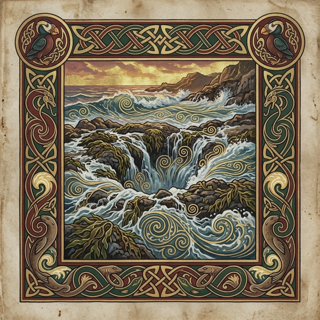
Golden sandstone sea cliffs meet Pacific surf where traditional dory fishing boats launch directly through the breakers against the 327-foot monolithic Chief Kiwanda Rock.
Local Guide Tip
Climb the Great Dune on the north side for an aerial perspective over the wave churn and sandstone wave bowls.
Standing 198 feet tall as America's tallest brick lighthouse, guarding the perilous Graveyard of the Atlantic where warm Gulf waters meet cold Labrador currents.
Local Guide Tip
Catch the beacon light rotation crossing through the sky during twilight blue hour for dramatic light-beam capture.
Hand-hewn timber and native basalt architecture built during the Great Depression. Sits at the 6,000-ft tree line under Mount Hood's 11,249-ft glaciated summit.
Local Guide Tip
Head behind the lodge toward the Silcox Hut trail at sunset for Mount Jefferson and Three Sisters alpenglow views across the southern horizon.
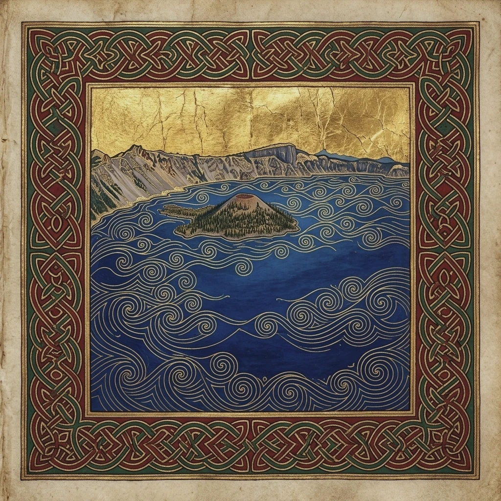
Formed 7,700 years ago when Mount Mazama collapsed. The deepest freshwater caldera in the United States (1,943 ft deep) with unmatched indigo blue purity.
Local Guide Tip
A circular polarizing filter is crucial here to cut surface solar glare and expose the intense sapphire depths around Wizard Island.
The historic 1913 Moulton Barn framed directly below the 13,775-foot jagged crest of Grand Teton Peak. An iconic symbol of American homestead resilience.
Local Guide Tip
Arrive 30 minutes before sunrise to claim a tripod spot. The golden alpenglow hits the highest crags first before spilling across the valley floor.
A vast 12x7 mile dry alkali lake bed sitting directly beneath the sheer 5,000-foot fault-block escarpment of Steens Mountain. Complete silence and cosmic night skies.
Local Guide Tip
Drive onto the playa only when bone dry; even a trace of moisture creates impassable clay silt that traps vehicles.
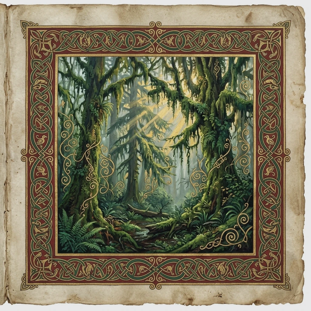
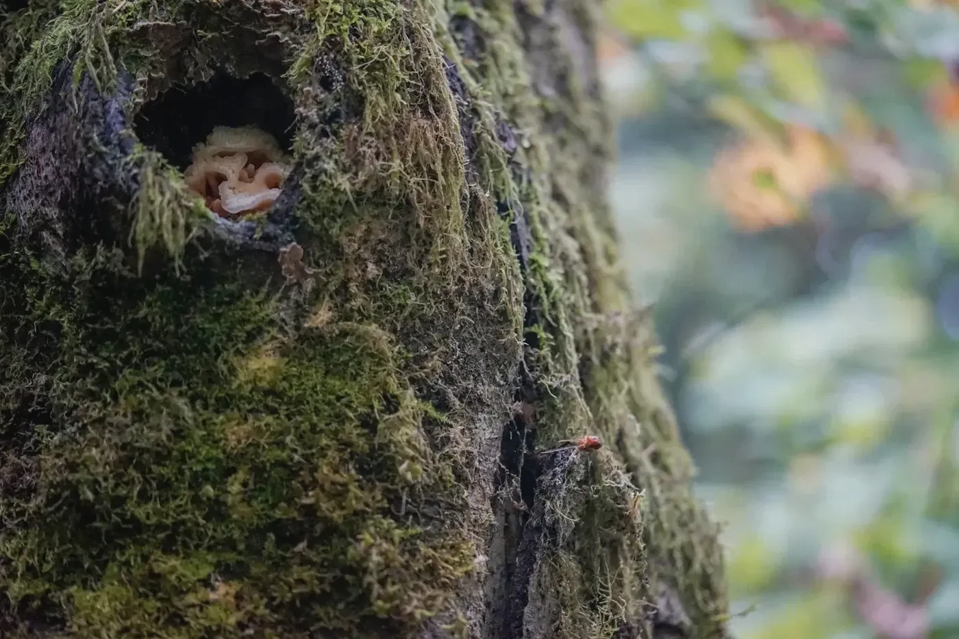
Receiving up to 140 inches of rain annually, this primeval temperate rainforest features towering Sitka spruce and bigleaf maples blanketed in hanging club moss curtains.
Local Guide Tip
Rainy days produce the most magical photos; use a circular polarizer to eliminate wet foliage reflections and bring out vibrant neon greens.
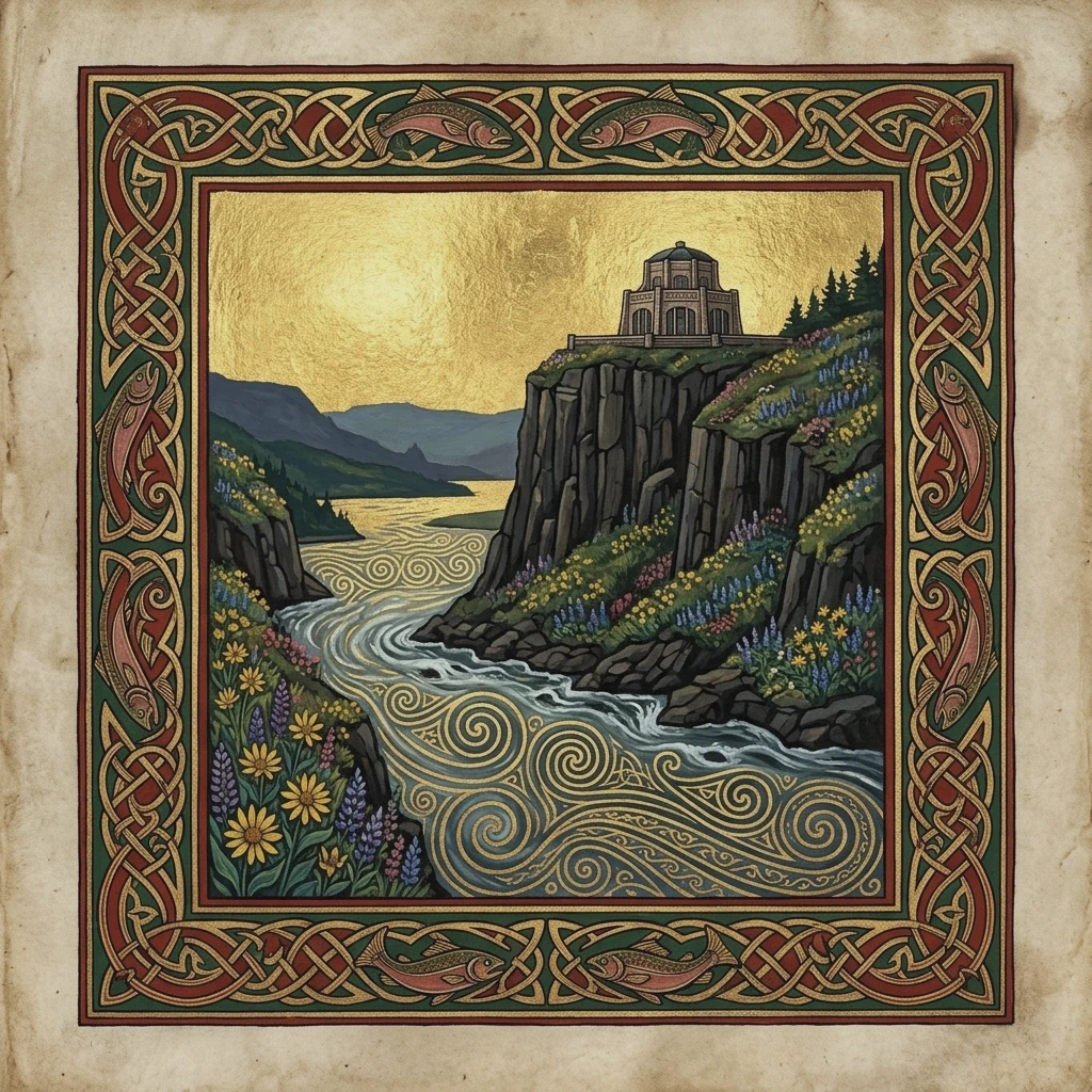
Constructed in 1918 on an 733-foot sheer basalt cliff overlooking 30 miles of the Columbia River Gorge. Known as the 'Crown Jewel' of the Columbia River Highway.
Local Guide Tip
Sunset winds can exceed 50 mph at the cliff edge. Keep your camera strap wrapped around your wrist and weight your tripod legs.
Stripped Classical Art Deco capitol dome crowned by the 22-foot bronze gilded 'Gold Man' pioneer standing watch over Willamette Valley heritage groves.
Local Guide Tip
Visit during late March when Capitol Mall's double rows of Akebono cherry trees explode into pink blossom canopies.
Try adjusting your category filter or search query.
Explore Phil Gear's Complete Google Maps Archive
Discover hundreds of high-resolution field photos, architectural perspectives, and geological waypoints contributed directly to Google Maps as a verified Level 8 Local Guide.